District Maps
The district layout of Stichting IMN is recorded in the document Landelijke Rayonindeling 2019 - 2022(National District Layout 2019 - 2022). For each recovery district, this layout provides a precise list of road sections subject to incident management. This list is regularly updated based on developments in the field of incident management deployment in the Netherlands.
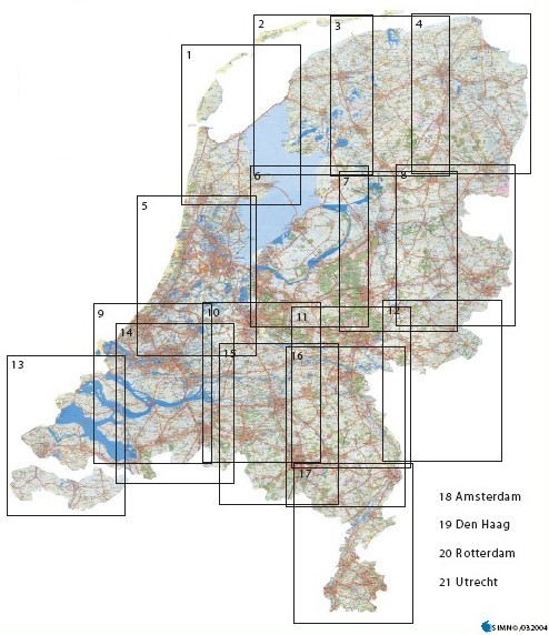
The location of the various districts is also presented on the district maps from Stichting IMN. The index map below contains an overview of the district maps. Click on the district in question to download the map in PDF format. The maps should be used by way of illustration in combination with the document National District Layout 2019 - 2022. In the event of discrepancies between the district maps and this document, the document takes precedence.